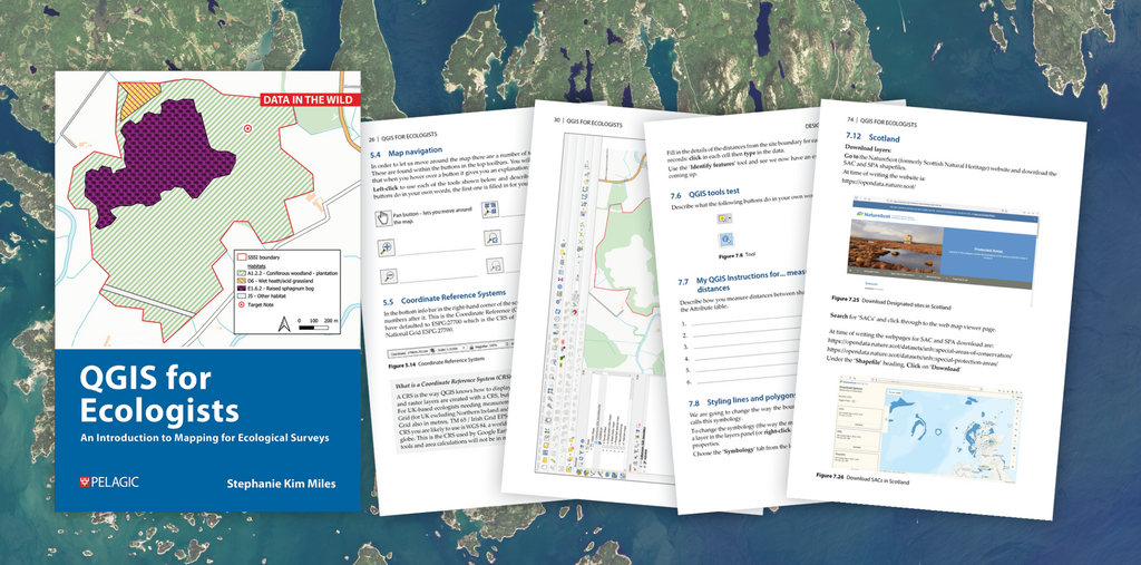
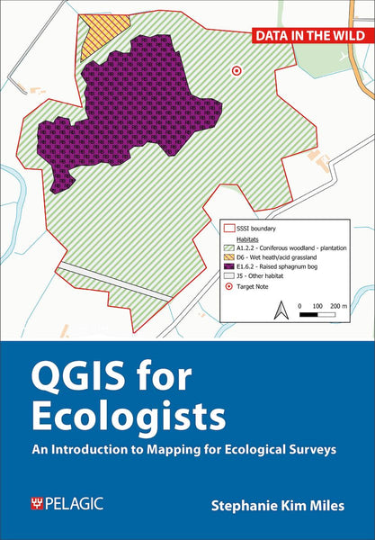
Stephanie Kim Miles talks to us about QGIS for Ecologists.
Could you tell us a little about your background and where your interest in QGIS began?
I began my career as an Environmental Scientist working for a multinational engineering and environmental consultancy. I learned on the job to create maps and spatial analysis for ecological assessments. This was focused on the marine environment: port expansions, offshore wind farms and other marine renewables projects.
I wanted to work in conservation so I returned to study for a Masters in Conservation and Biodiversity at the University of Exeter. Whilst there, I tutored fellow students in the use of GIS. This was the first time I became aware that a practical how to guide to using GIS would be useful for students and early career ecologists.
I first started using QGIS when I started working for a small ecological consultancy and was asked if we could begin using QGIS for the organisation. At the same time, The Chartered Institute of Ecology and Environmental Management (CIEEM) was looking for a Scotland based tutor for the course: Beginners QGIS for Ecologists and Conservation Practitioners.
What made you decide to write QGIS for Ecologists?
For some years training and teaching colleagues and students in the use of QGIS, I found that having a text book to hand would be really useful. I wanted something that used real world ecological data that ecologists could relate to, understand and show step-by-step how learning QGIS could help them in their day-to-day work. I thought it was really important to show how to find data sources, as this is something that took me an awful lot of time to find when I was starting out.

What was the biggest challenge you faced whilst writing the book?
I find when you know a subject inside out you often are the worse teacher of it! It is very easy to leave out the steps that to you seem obvious. For instance, I remember a panicked phone call from someone who could not get data to work. It turned out it was because I had forgotten to include the step of explaining the need to extract data from a zip file before trying to import it in GIS.
This is not the only such missing step my trainees have found over the years, so I knew that in writing the book, I would need to make very sure that I had not missed anything! To do so I have spent a number of years perfecting the tutorials with feedback from students to make everything as clear as I can.
Did you learn anything surprising during the process of getting the book together?
I think I was very naïve in how much time and effort writing such a book is! I often thought that this is maybe why such a how-to book did not yet exist even though I thought it would be really useful. This thought helped spur me on to eventual completion of the book through the challenges of future proofing the book.
The changing nature of data availability, sources, copyright, as well as software updates all make the workflows work slightly differently. I have worked hard to ensure as much as possible that the workflows will remain current even if external data sources change.

Why is QGIS important for ecologists and conservation?
A map can tell a story of your data in a much easier to interpret way than say a table. This is useful for reporting in ecology and conservation. If you want to understand your data then mapping it can enable you to find spatial links between habitats and species you might not otherwise see. I hope that my book makes it more accessible to use QGIS in ecology and conservation to help monitor, conserve and restore ecosystems for the future.
Learn more about QGIS for Ecologists here.


